Cybertiks

About Cybertiks
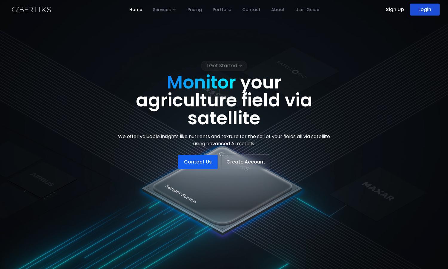
Cybertiks focuses on transforming agriculture through AI and remote sensing. Users can remotely analyze fields using satellite imagery, gaining valuable insights into soil health and precise metrics. The platform's unique capability lies in its accurate data provision, addressing sustainability challenges in agriculture.
Cybertiks offers flexible pricing plans tailored for varying needs, enabling users to choose from basic to advanced analysis options. Higher tiers provide enhanced insights, faster updates, and comprehensive support, delivering exceptional value for users eager to optimize their agricultural practices.
Cybertiks boasts an intuitive user interface that ensures seamless navigation and data visualization. The layout is designed to facilitate efficient access to satellite analysis results, with user-friendly features that enhance data interpretation, making it easy for users to monitor their agricultural fields.
How Cybertiks works
Users begin by creating an account on Cybertiks, entering their field's coordinates to draw outlines. The platform then utilizes advanced satellite imagery and AI models to analyze the fields, providing insights every seven days. Users can view results on a responsive map, facilitating informed agricultural decisions.
Key Features for Cybertiks
Remote Sensing Analysis
Cybertiks' remote sensing analysis leverages satellite data to deliver detailed insights into agricultural fields. This unique feature enables users to understand soil nutrients, texture, and overall health, empowering them to make informed decisions for optimal crop management and sustainability.
Custom AI Models
With Cybertiks, users benefit from tailored AI models specifically designed for accurate agricultural metrics. This feature enhances data precision, ensuring users receive reliable insights for effective field monitoring, thus maximizing crop yield and sustainability in their practices.
Historical Data Insights
Cybertiks provides access to historical data, allowing users to track changes in field conditions over time. This unique feature aids in understanding trends and making proactive decisions, ultimately fostering better agricultural management and sustainable practices.
You may also like:


